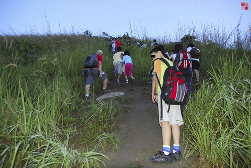
If I remember correctly, my last Tabur hike was 4-5 months back in 2010. Since then, no more hiking for me until last Saturday, when Mr. Wong sent me a text message: “Tabur tomorrow?”. I hesitated for a moment, and thought why not?! I replied and agreed to meet him by 0630 at a Deen Mamak. We (and Ms. Ong) started to hike up by 0700, took us almost 20 minutes to reach the 1st resting ground. I think that was the longest time ever taken for us to reach that spot! Well we have our excuse anyway.
We continue to hike up the 1st peak, which took us another 20 minutes perhaps. Of course we stopped for some rest in between; talking about how frequent we used to hike tabur last time; talking about Mr. Wong’s fully planned agenda for the next 3 months! In fact, I noticed most Tabur’s hiker has been quite “discipline” in keeping the trail clean, except for some annoying ones who “smoke and hike”, leaving not only their footprint but their cigarette bud! I wonder if that’s gonna make their health worse.
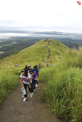
The next 45 minutes was a very difficult one, at least for me, struggling to keep up the pace with both of them. We passed the 2nd peak without stopping for rest, afraid of other hikers get passed us and slowing us down on the “entrance” to the 3rd peak. Well, the “entrance” to the 3rd peak was actually a 70 degree steep slope, allowing only 1-2 person to either hike up or down at the same time.
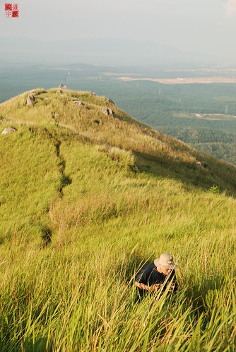
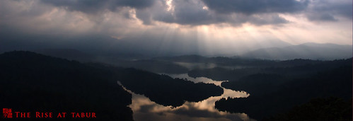
At the 3rd peak, there’s a perfect spot to take photograph of the klang gate reservoir and Tabur West (picture above). I remember the shrub on the right-hand corner is not visible the last time I took a similar picture, perhaps they have grown taller! We stopped and rest there for quite some time, making friends with other hikers, joking with the “Big Sister” nickname given to Mr. Wong. We decided to continue our hike until we reach a place we called “回头是岸”, translated as “repent and be saved”. The name was given to that particular spot is because it’s a fairly difficult (for beginner), or perhaps “dangerous” spot to cross over to the other side of the cliff, which will eventually reaching the 4th peak.
This place is also another “bottleneck” for hikers who wanted to continue to the next peak and finish the hike. For us, we normally stops here and turns back. The reason is because the way returning to the base is more excited if we follow the original trail back. It took us roughly 30 minutes to reach the base, if my estimation was correct.

